Scripture invites us into a world of sights, sounds, and smells.
People, like great novels, have themes.
Blog and Vlog
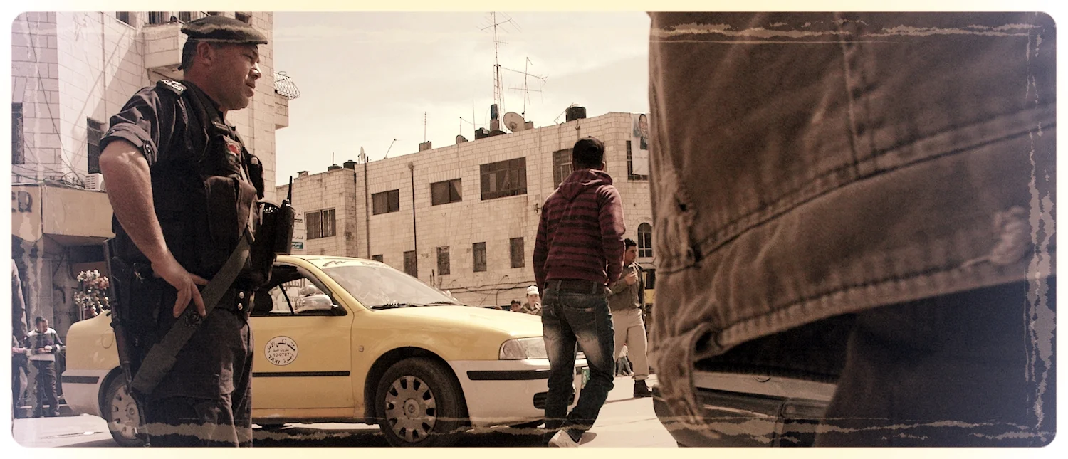
Thirteen explorers from five U.S. states met at the opening of 2017 to walk the Jesus Trail. The Trail is a blazed course that passes through urban and rural regions of northern Israel-Palestine. Many sites of significance were encountered by the group; these give testimony to the deep and diverse history of the area known as Galilee.
Sunday schoolers and Raiders of the Lost Ark fans know that the presence of God was once associated with the Tabernacle. According to the biblical text, this frame and fabric structure was constructed in a special moment in time. Israel was moving to a new frontier. As the people packed or pitched their tents, so too, their God.
Given the prominence of the phrase "sheep and goat" in the Bible, the propensity of contemporary herders to run "sheep and goat" together in the biblical heartland, it is striking to find "sheep and goat" together at the top of the Rocky Mountains. However, one must be cautious in carrying the analogy too far.
Maps produced at the start of the 16th century reflect the ongoing struggle between ancient, medieval, and modern perspectives. The surge of incoming data challenged traditional thinking. Mariners found themselves blinking at fresh charts under the Atlantic sun even as mapmakers in Europe scrambled to update graphic blends of fact and faith.